
Potato Chip Rock via Mt. Woodson
Local San Diego tour guide’s blog about hiking Mt. Woodson.

View of San Diego and the Pacific Ocean from the trail
From Lake Poway
Moderate
7.6 miles, heavily trafficked, out and back trail
2112 ft. Elevation gain
1/17/21
Our son, Bo has been trying to get us to hike to the Mt. Woodson summit for a long time but somehow we kept putting it off. However, we found ourselves with a long weekend and a beautiful January day, so Lori and I decided it was time to take on his challenge.
There are two Alltrails hikes to the Mt. Woodson summit. From the east, you can take the “Woodson Mountain and Potato Chip Rock via Hwy 67” which is 4.1 miles with a 1220 foot elevation gain.
We chose to come from the west for the bigger challenge of 7.6 miles and 2112 ft. Elevation gain. The trailhead is at Lake Poway. This is a popular park offering boating, archery, ball fields and fishing in addition to multiple hiking trails. We arrived a bit after 10 am and it was already very busy but there was plenty of parking. For non-Poway residents, there is a $10 parking fee on the weekend. The ranger at the gate took our money and cheerfully gave us directions to the trailhead. This is a beautiful park and the bathrooms near the trailhead were clean and well maintained.

Lake Poway
The first part of the trail is fairly easy hiking. At 1.8 miles you will come to a picnic area with tables and trash receptacles. From here you get a nice view of San Diego to the southwest but keep going, the view gets better!
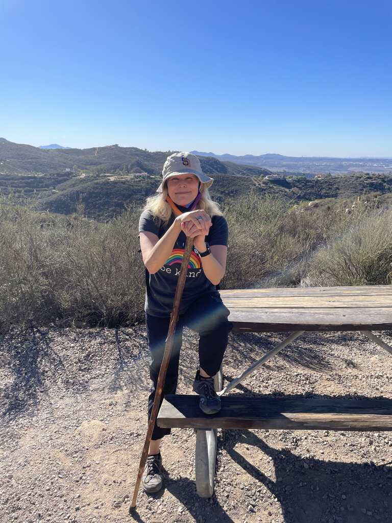
At the picnic area
After the picnic area the trail really starts to climb but it is made easier with rock steps. However, going up and up and up is hot and tiring work. Make sure you take frequent breaks and drink lots of water. With the temperature in the 80’s on this day, it was suggested to have at least 2 liters of water per person. Personally, this is not a hike I would want to do in temperatures any warmer than the low 80’s.
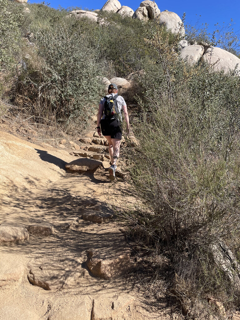
Up and up and up
The views to the south and west from the trail as you climb will include El Cajon, Cowles Mountain, downtown San Diego, Point Loma, Pacific Ocean, Mount Soledad, Black Mountain and Del Mar Heights. At about 2.8 miles you will start to see the views to the north including Lake Romona.

Resting in the shade near the summit looking northward
Just when I was growing weary of the constant climb, there it was! Potato Chip Rock. Well, it wasn’t the famous rock I saw first. It was the crowd of people lined up to get their photo taken on the rock. This sliver of a rock outcropping was made famous via Instagram posts and, in Bo’s opinion, “ruined a great hiking trail”. After watching a young blonde woman in a hot pink outfit carefully climb out onto the “chip” and strike her pose to be captured by a camera below, we continued past the long line of people to the summit. Don’t get me wrong, I too would love to get a photo of myself in some silly pose on the chip. However, I hate lines more. And the word was that this particular line was almost an hour wait.

Just part of the line for Potato Chip Rock

Out on a chip
The peek of Mt Woodson is covered with communication towers so it is not as pretty as I had hoped. We walked a bit past the peek to the eastern side and found a shady spot for a break. From here we could see the San Pasqual Valley, Ramona and the mountains beyond.

View to the east from the summit

Exploring on the trail
We made our way back down the trail. This time discovering things we missed while we had huffed and puffed our way up. There was a triangular tunnel between rocks off the trail and a large rock that to my inner 8 year old thought looked like a giant butt. We got a bit lost taking the wrong trail as we neared Lake Poway. That trail took us closer the the lake but got us back to the park. It was just a gentle lesson to pay more attention on the way up next time and follow the app!
